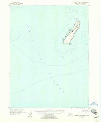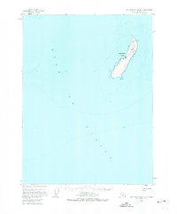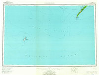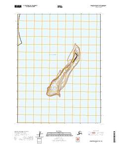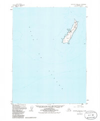
1955 Map of Middleton Island B-7
USGS Topo · Published 1986About this map
Middleton Island emerges from the Gulf of Alaska as a isolated outpost of aviation and communication in this mid-century survey. The landscape is defined by its functional infrastructure, centered around a significant Landing Strip and the small settlement of Middleton. Because this map includes data compiled from aerial photographs and maritime charts, it offers a distinct view of the island's navigational role, featuring a Radio Facility, a Light, and a prominent Radio Tower. The presence of several Tanks, an Antenna, and a single Drill Hole offshore indicates a period of technical and exploratory activity on this remote landmass. This document captures the island before minor revisions in the 1980s, preserving the footprint of its cold-war era utility.
Find a feature on this map
10 named features on this map. Tap any name to fly to it.
Don’t see what you’re looking for? This feature index may not catch every label — zoom into the map to look around manually.
Map Details
Editions of this 1955 Middleton Island B-7 Map
3 editions found