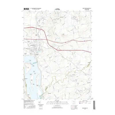
2016 Map of Middletown
USGS Topo · Published 2016About this map
Middletown and its neighboring boroughs sit at the confluence of Swatara Creek and the Susquehanna River, a landscape defined by industrial infrastructure and river geography. The map detail shows the dense residential grid of Royalton and the sprawling campus of Pennsylvania State Univ Harrisburg just north of the Harrisburg International Airport. To the south, the river is punctuated by a string of significant landforms, including Hill Island, Shelley Island, and the prominent Threemile Island.
Find a feature on this map
62 named features on this map. Tap any name to fly to it.
Don’t see what you’re looking for? This feature index may not catch every label — zoom into the map to look around manually.
Map Details
Editions of this 2016 Middletown Map
This is the sole edition of this map. No revisions or reprints were ever made.
Other maps of this area

1892 · Hummelstown
USGS Topo · 1:62,500

1892 · Harrisburg
USGS Topo · 1:62,500

1899 · Harrisburg
USGS Topo · 1:62,500

1906 · New Cumberland
USGS Topo · 1:62,500

1908 · Middletown
USGS Topo · 1:62,500

1924 · Hummelstown
USGS Topo · 1:62,500

1924 · Harrisburg
USGS Topo · 1:62,500

1943 · New Cumberland
USGS Topo · 1:62,500
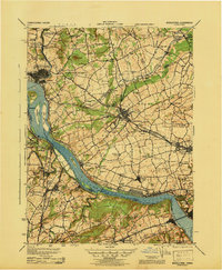
1943 · Middletown
USGS Topo · 1:62,500
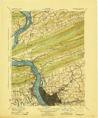
1943 · Harrisburg
USGS Topo · 1:62,500