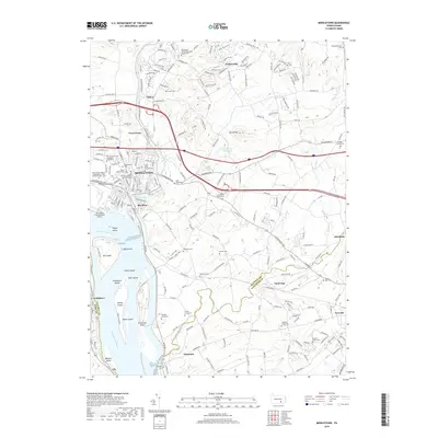
2019 Map of Middletown
USGS Topo · Published 2019About this map
The Susquehanna River dominates the western edge of this landscape, its wide channel punctuated by a chain of significant landforms including Shelley Island, Threemile Island, and Hill Island. Along the eastern bank, the urban center of Middletown serves as a focal point for the region, where Pennsylvania State University Harrisburg and the Harrisburg International Airport signify modern development. This area is deeply tied to its local history, evidenced by a high density of burial sites such as the German Lutheran Burial Grounds and several family-named locations like the Nissley Graveyard and Gingrich Family Plot.
Find a feature on this map
232 named features on this map. Tap any name to fly to it.
Don’t see what you’re looking for? This feature index may not catch every label — zoom into the map to look around manually.
Map Details
Editions of this 2019 Middletown Map
This is the sole edition of this map. No revisions or reprints were ever made.
Other maps of this area

1892 · Hummelstown
USGS Topo · 1:62,500

1892 · Harrisburg
USGS Topo · 1:62,500

1899 · Harrisburg
USGS Topo · 1:62,500

1906 · New Cumberland
USGS Topo · 1:62,500

1908 · Middletown
USGS Topo · 1:62,500

1924 · Hummelstown
USGS Topo · 1:62,500

1924 · Harrisburg
USGS Topo · 1:62,500

1943 · New Cumberland
USGS Topo · 1:62,500

1943 · Middletown
USGS Topo · 1:62,500

1943 · Harrisburg
USGS Topo · 1:62,500