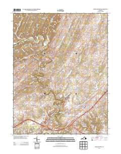
2013 Map of Middletown
USGS Topo · Published 2013About this map
Middletown anchors this portion of the Shenandoah Valley, where the landscape is deeply shaped by the historical military presence along the Little North Mountain range. Defensive landmarks like Stephens Fort and Nieswanders Fort speak to the area's frontier history, while the sprawling Cedar Creek Battlefield south of the town center preserves the geography of the Civil War.
Find a feature on this map
172 named features on this map. Tap any name to fly to it.
Don’t see what you’re looking for? This feature index may not catch every label — zoom into the map to look around manually.
Map Details
Editions of this 2013 Middletown Map
This is the sole edition of this map. No revisions or reprints were ever made.
Other maps of this area

1893 · Luray
USGS Topo · 1:125,000

1894 · Winchester
USGS Topo · 1:125,000

1905 · Luray
USGS Topo · 1:125,000
1923 · Middletown
USGS Topo · 1:62,500
1937 · Middletown
USGS Topo · 1:48,000
1938 · Winchester
USGS Topo · 1:48,000
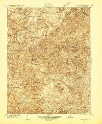
1939 · Front Royal
USGS Topo · 1:48,000
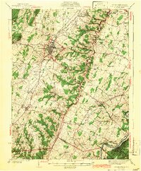
1942 · Winchester
USGS Topo · 1:62,500
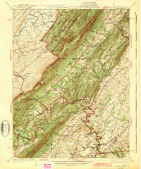
1943 · Middletown
USGS Topo · 1:62,500
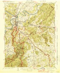
1944 · Front Royal
USGS Topo · 1:62,500