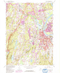
2024 Map of Middletown
USGS Topo · Published 2024About this map
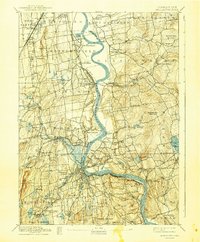
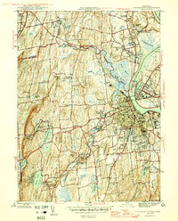
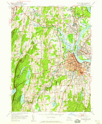
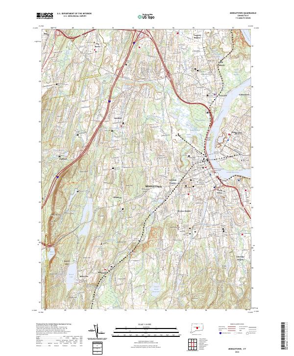
Middletown and its neighboring riverfront settlements are defined by the winding course of the Mattabesset River and the high elevations of the Metacomet Ridge. This modern topographic survey highlights a landscape where academic and state institutions like Wesleyan University and the State of Connecticut Superior Court meet older industrial and transport foundations, such as the Mattabesset Trolley line. The map is particularly dense with genealogical sites, showing the locations of the Old Burying Ground Cem and the State Veterans Cem.
Find a feature on this map
361 named features on this map. Tap any name to fly to it.
Don’t see what you’re looking for? This feature index may not catch every label — zoom into the map to look around manually.
Map Details
Editions of this 2024 Middletown Map
This is the sole edition of this map. No revisions or reprints were ever made.
Historical Maps of Meriden Through Time
5 maps found