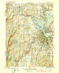
1945 Map of Middletown
USGS Topo · Published 1945About this map
Middletown serves as the focal point for this mid-1940s survey, situated along the western bank of the Connecticut River across from Portland. The city’s institutional landscape is well-defined, featuring the campus of Wesleyan University and the extensive grounds of the State Hospital and Long Lane State Farm. Local industry and social infrastructure are evident in the clustering of churches, such as St Johns Cem, and the presence of the Swedish Orphanage and Cromwell Hall in the neighboring town of Cromwell.
Find a feature on this map
92 named features on this map. Tap any name to fly to it.
Don’t see what you’re looking for? This feature index may not catch every label — zoom into the map to look around manually.
Map Details
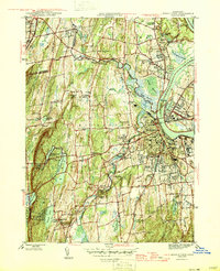
Editions of this 1945 Middletown Map
2 editions found
Other maps of this area

1892 · New Haven
USGS Topo · 1:62,500

1892 · Meriden
USGS Topo · 1:62,500

1893 · Guilford
USGS Topo · 1:62,500

1893 · Middletown
USGS Topo · 1:62,500

1893 · Meriden
USGS Topo · 1:62,500

1906 · Farmington
USGS Topo · 1:125,000

1921 · New Haven
USGS Topo · 1:62,500

1928 · Cromwell
USGS Topo · 1:24,000

1928 · Glastonbury
USGS Topo · 1:24,000

1943 · Durham
USGS Topo · 1:25,000