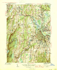
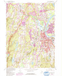
1945 Map of Middletown
USGS Topo · Published 1945About this map
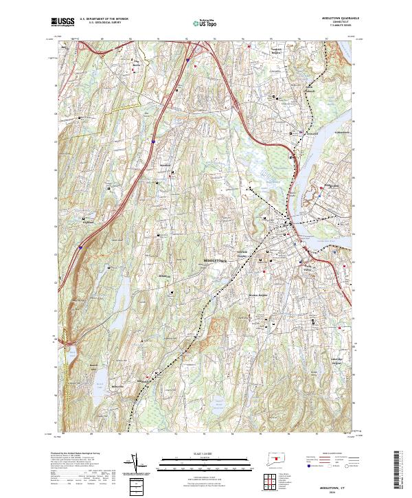
The Connecticut River bends sharply around Wilcox Island as it passes between the industrial and academic centers of Middletown and Portland at the end of World War II. This 1945 edition reveals the dense urban development of the era, from the campus of Wesleyan University to the sprawling State Hospital complex and several distinct residential heights. Outside the city center, the landscape is defined by the steep ridges of Lamentation Mountain and Spruce Hill to the west, while the New York New Haven and Hartford RR carves a path through the valley to connect the settlements of Cromwell, Berlin, and Middlefield. Local history and genealogy are well-represented by a high density of named burying grounds, including the Indian Hill Cem and Old East Street Cem, alongside institutional landmarks like the Swedish Orphanage and Long Lane State Farm.
Find a feature on this map
92 named features on this map. Tap any name to fly to it.
Don’t see what you’re looking for? This feature index may not catch every label — zoom into the map to look around manually.
Map Details
Editions of this 1945 Middletown Map
2 editions found
Historical Maps of Meriden Through Time
9 maps found
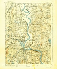
1893 Middletown
Middlesex County, CT
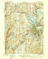
1945 Middletown
Middlesex County, CT
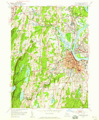
1952 Middletown
Middlesex County, CT
1965 Middletown
Middlesex County, CT
2012 Middletown
Middlesex County, CT
2015 Middletown
Middlesex County, CT

2018 Middletown
Middlesex County, CT
2021 Middletown
Middlesex County, CT
2024 Middletown
Middlesex County, CT