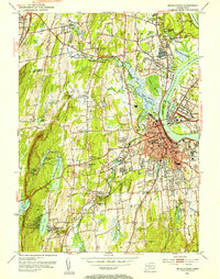
1952 Map of Middletown
USGS Topo · Published 1954About this map
Wesleyan University and the downtown core of Middletown anchor this post-war landscape as it transitioned into a regional hub for education and industry. The industrial character of the Connecticut River is evident in the rail lines of the New York New Haven and Hartford railroad and the presence of the Brazos Quarry in Portland. South of the city, the Long Lane State Farm and the State Hospital reflect large-scale institutional land use of the era, while the newly revised roads like the Wilbur Cross Highway show the beginning of suburban expansion into Newfield Heights and Bretton Heights.
Find a feature on this map
100 named features on this map. Tap any name to fly to it.
Don’t see what you’re looking for? This feature index may not catch every label — zoom into the map to look around manually.
Map Details
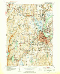
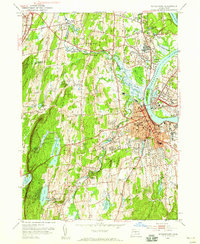
Editions of this 1952 Middletown Map
3 editions found
Other maps of this area

1892 · New Haven
USGS Topo · 1:62,500

1892 · Meriden
USGS Topo · 1:62,500

1893 · Guilford
USGS Topo · 1:62,500

1893 · Middletown
USGS Topo · 1:62,500

1893 · Meriden
USGS Topo · 1:62,500

1906 · Farmington
USGS Topo · 1:125,000

1921 · New Haven
USGS Topo · 1:62,500

1928 · Cromwell
USGS Topo · 1:24,000

1928 · Glastonbury
USGS Topo · 1:24,000

1943 · Durham
USGS Topo · 1:25,000