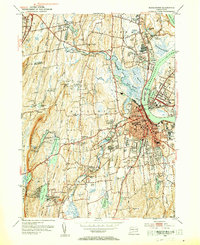
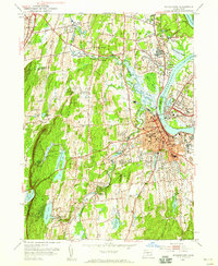
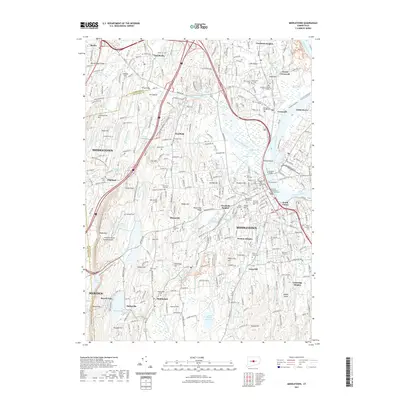
1952 Map of Middletown
USGS Topo · Published 1954About this map
The Connecticut River dominates this mid-century view, separating the developed core of Middletown from the sandstone quarrying operations at Portland. The city’s academic and institutional character is clearly visible through the sprawling grounds of Wesleyan University, the Middlesex Hospital, and the Long Lane State Farm. To the west, the landscape rises toward Higby Mountain and Lamentation Mountain, where reservoirs like Mount Highy Reservoir and Roaring Brook Reservoir manage the region's water supply.
Find a feature on this map
112 named features on this map. Tap any name to fly to it.
Don’t see what you’re looking for? This feature index may not catch every label — zoom into the map to look around manually.
Map Details
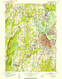
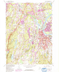
Editions of this 1952 Middletown Map
3 editions found
Historical Maps of Meriden Through Time
9 maps found
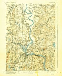
1893 Middletown
Middlesex County, CT
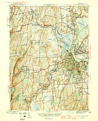
1945 Middletown
Middlesex County, CT
1952 Middletown
Middlesex County, CT
1965 Middletown
Middlesex County, CT
2012 Middletown
Middlesex County, CT
2015 Middletown
Middlesex County, CT

2018 Middletown
Middlesex County, CT
2021 Middletown
Middlesex County, CT
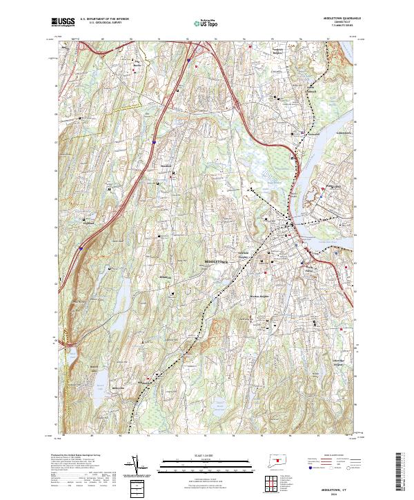
2024 Middletown
Middlesex County, CT