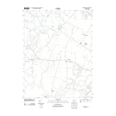
2010 Map of Middleway
USGS Topo · Published 2010About this map
Opequon Creek and its many tributaries, including Turkey Run and Middle Creek, define the landscape of this Jefferson County region during the early 21st century. The settlement of Middleway sits at a historic crossroads, surrounded by smaller communities such as Leetown, Egypt, and Summit Point. For genealogists, the map identifies several significant interment sites, most notably the Washington Burial Ground near Aldridge and Harewood, alongside Johnsontown Cemetery and Fairview Cemetery. This 2010 survey reflects a rural environment where land use is still heavily influenced by water access and traditional road networks, such as the Leetown Pike and Kearneysville Virginia Line Rd. The inclusion of river crossings like Dandridges Ford and Whitmores Ford provides evidence of long-standing travel routes through the valley, even as residential pockets like Jefferson Village show modern development patterns.
Find a feature on this map
62 named features on this map. Tap any name to fly to it.
Don’t see what you’re looking for? This feature index may not catch every label — zoom into the map to look around manually.
Map Details
Editions of this 2010 Middleway Map
This is the sole edition of this map. No revisions or reprints were ever made.
Other maps of this area

1884 · Harpers Ferry
USGS Topo · 1:125,000

1891 · Harpers Ferry
USGS Topo · 1:125,000

1893 · Harpers Ferry
USGS Topo · 1:125,000

1894 · Winchester
USGS Topo · 1:125,000

1914 · Martinsburg
USGS Topo · 1:48,000

1914 · Gerrardstown
USGS Topo · 1:48,000

1916 · Gerrardstown
USGS Topo · 1:62,500

1916 · Martinsburg
USGS Topo · 1:62,500

1916 · Berryville
USGS Topo · 1:62,500

1937 · Gerrardstown
USGS Topo · 1:48,000