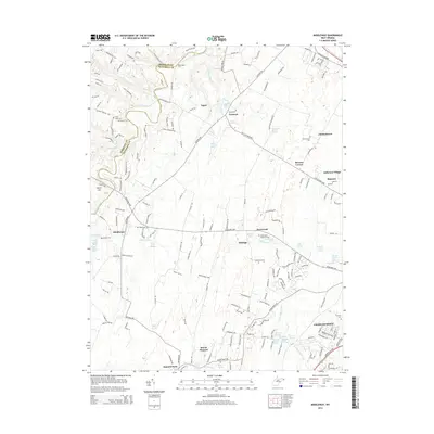
2014 Map of Middleway
USGS Topo · Published 2014About this map
Middleway and the surrounding panhandle countryside are defined by a complex network of springs and runs that once powered the local economy. The landscape is dotted with historical family-named sites, such as the Washington Burial Ground and Harewood, reflecting the deep-rooted settlement history of the region. Natural water sources like Balch Spring, Grey Spring, and Cool Spring are clustered throughout the terrain, feeding into the Bullskin Run and Evitts Run watersheds.
Find a feature on this map
183 named features on this map. Tap any name to fly to it.
Don’t see what you’re looking for? This feature index may not catch every label — zoom into the map to look around manually.
Map Details
Editions of this 2014 Middleway Map
This is the sole edition of this map. No revisions or reprints were ever made.
Other maps of this area

1884 · Harpers Ferry
USGS Topo · 1:125,000

1891 · Harpers Ferry
USGS Topo · 1:125,000

1893 · Harpers Ferry
USGS Topo · 1:125,000

1894 · Winchester
USGS Topo · 1:125,000

1914 · Martinsburg
USGS Topo · 1:48,000

1914 · Gerrardstown
USGS Topo · 1:48,000

1916 · Gerrardstown
USGS Topo · 1:62,500

1916 · Martinsburg
USGS Topo · 1:62,500

1916 · Berryville
USGS Topo · 1:62,500

1937 · Gerrardstown
USGS Topo · 1:48,000