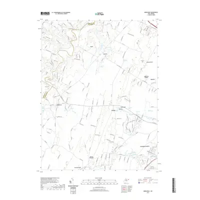
2019 Map of Middleway
USGS Topo · Published 2019About this map
Charles Town and the neighboring settlements of Middleway and Ranson anchor this 2019 survey of the Jefferson County landscape. The area is defined by its deep historical roots, evidenced by the Washington Burial Ground and the numerous named springs that dot the terrain, including Washington Spring, Piedmont Farm Spring, and Claymont Springs. These water sources historically sustained the farmsteads and early communities situated along the Berkeley and Jefferson County line.
Find a feature on this map
183 named features on this map. Tap any name to fly to it.
Don’t see what you’re looking for? This feature index may not catch every label — zoom into the map to look around manually.
Map Details
Editions of this 2019 Middleway Map
This is the sole edition of this map. No revisions or reprints were ever made.
Other maps of this area

1884 · Harpers Ferry
USGS Topo · 1:125,000

1891 · Harpers Ferry
USGS Topo · 1:125,000

1893 · Harpers Ferry
USGS Topo · 1:125,000

1894 · Winchester
USGS Topo · 1:125,000

1914 · Martinsburg
USGS Topo · 1:48,000

1914 · Gerrardstown
USGS Topo · 1:48,000

1916 · Gerrardstown
USGS Topo · 1:62,500

1916 · Martinsburg
USGS Topo · 1:62,500

1916 · Berryville
USGS Topo · 1:62,500

1937 · Gerrardstown
USGS Topo · 1:48,000