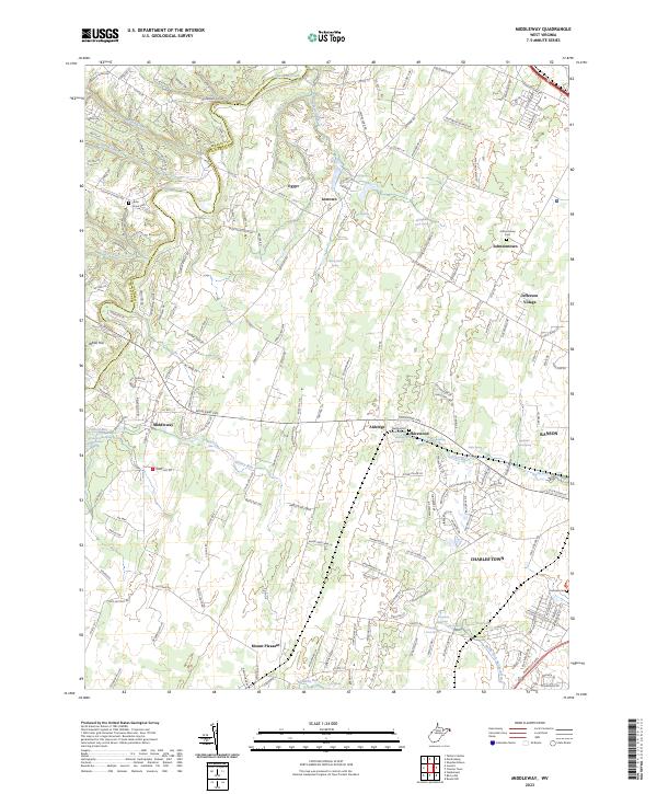
2023 Map of Middleway
USGS Topo · Published 2023About this map
The boundary between Berkeley Co and Jefferson Co runs through a landscape of historic farmsteads and springs in this 2023 survey. This region of the Shenandoah Valley is defined by its deep genealogical ties, anchored by the Washington Burial Ground at Harewood and several family-named rural settlements like Leetown, Johnsontown, and Middleway. The area is exceptionally water-rich, featuring numerous named springs such as Washington Spring, Piedmont Farm Spring, and the Claymont Springs complex.
Find a feature on this map
192 named features on this map. Tap any name to fly to it.
Don’t see what you’re looking for? This feature index may not catch every label — zoom into the map to look around manually.
Map Details
Editions of this 2023 Middleway Map
This is the sole edition of this map. No revisions or reprints were ever made.
Other maps of this area

1884 · Harpers Ferry
USGS Topo · 1:125,000

1891 · Harpers Ferry
USGS Topo · 1:125,000

1893 · Harpers Ferry
USGS Topo · 1:125,000

1894 · Winchester
USGS Topo · 1:125,000

1914 · Martinsburg
USGS Topo · 1:48,000

1914 · Gerrardstown
USGS Topo · 1:48,000

1916 · Gerrardstown
USGS Topo · 1:62,500

1916 · Martinsburg
USGS Topo · 1:62,500

1916 · Berryville
USGS Topo · 1:62,500

1937 · Gerrardstown
USGS Topo · 1:48,000