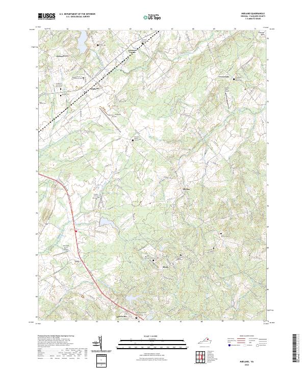
2022 Map of Midland
USGS Topo · Published 2022About this map
Midland serves as a central hub in this section of Fauquier County, where the landscape is defined by a network of historic family cemeteries and rural crossroads. The area retains a distinct aviation presence, hosting the Warrenton/Fauquier Airport, Walnut Hill Airport, and the Flying Circus Aerodrome. Small settlements like Germantown, Elk Run, and Morrisville are connected by a web of routes including Catlett Rd and the Old Devils Tpke, reflecting centuries of inland transit through the Culpeper Basin.
Find a feature on this map
102 named features on this map. Tap any name to fly to it.
Don’t see what you’re looking for? This feature index may not catch every label — zoom into the map to look around manually.
Map Details
Editions of this 2022 Midland Map
This is the sole edition of this map. No revisions or reprints were ever made.
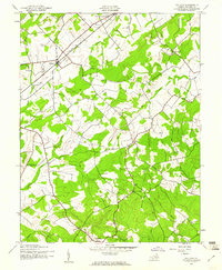
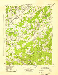
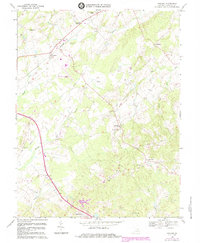
Historical Maps of Midland Through Time
4 maps found