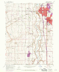
1963 Map of Midvale
USGS Topo · Published 1970About this map
Midvale and the surrounding Salt Lake Valley communities appear here during a period of significant post-war expansion. The industrial character of the region is anchored by the Sugar Refinery near West Jordan and the massive Slag Pile at the heart of Midvale, illustrating the area's transition from agricultural roots to a manufacturing and residential hub. The landscape is defined by an intricate network of irrigation and transport, featuring the Jordan River flanked by the Utah Lake Distributing Canal and the Beckstead Ditch.
Find a feature on this map
70 named features on this map. Tap any name to fly to it.
Don’t see what you’re looking for? This feature index may not catch every label — zoom into the map to look around manually.
Map Details
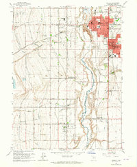
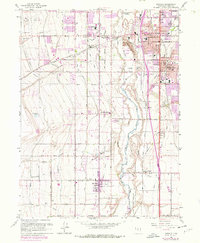
Editions of this 1963 Midvale Map
3 editions found
Other maps of this area

1885 · Salt Lake
USGS Topo · 1:250,000

1885 · Tooele Valley
USGS Topo · 1:250,000

1915 · Fairfield
USGS Topo · 1:62,500

1917 · Fairfield
USGS Topo · 1:62,500

1925 · Ft. Douglas
USGS Topo · 1:125,000

1928 · Ft. Douglas
USGS Topo · 1:125,000

1951 · Jordan Narrows
USGS Topo · 1:24,000

1951 · Lehi
USGS Topo · 1:24,000

1951 · Salt Lake City South
USGS Topo · 1:24,000

1951 · Midvale
USGS Topo · 1:24,000