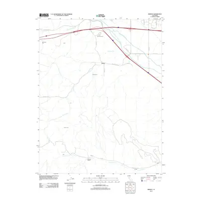
2012 Map of Midway
USGS Topo · Published 2012About this map
Altamont Speedway sits near the northern boundary of this landscape, where the foothills of the Diablo Range transition into the San Joaquin Valley. This 2012 survey documents a complex network of water infrastructure, dominated by the Governor Edmund G Brown California Aqueduct and the Delta-Mendota Canal, which cut southeast across the terrain. Small settlements and former industrial sites like Tesla, Pottery, and Carnegie are situated along Corral Hollow Cr in the south, reflecting the region's legacy of mining and manufacturing. The central portion of the map is defined by the community of Midway and its associated Midway Siding, illustrating the intersection of rail transport and rural development. From Redmond Cut to the drainage of Patterson Run, the map details a topography shaped by both natural watercourses and massive engineering projects.
Find a feature on this map
31 named features on this map. Tap any name to fly to it.
Don’t see what you’re looking for? This feature index may not catch every label — zoom into the map to look around manually.
Map Details
Editions of this 2012 Midway Map
This is the sole edition of this map. No revisions or reprints were ever made.
Other maps of this area

1907 · Tesla
USGS Topo · 1:62,500

1911 · Byron Hot Springs
USGS Topo · 1:31,680

1914 · Bethany
USGS Topo · 1:31,680

1914 · Union Island
USGS Topo · 1:31,680

1916 · Byron Hot Springs
USGS Topo · 1:31,680

1916 · Byron
USGS Topo · 1:62,500

1916 · Tracy
USGS Topo · 1:31,680

1916 · Midway
USGS Topo · 1:31,680

1922 · Carbona
USGS Topo · 1:62,500

1940 · Byron
USGS Topo · 1:62,500