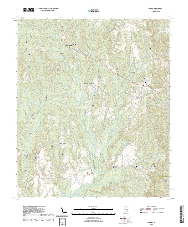
2024 Map of Midway
USGS Topo · Published 2024About this map
Midway serves as a focal point for this section of Bullock County, where several local roads and the legacy of the rail lines converge. The settlement pattern is characterized by small, established communities and family-named landmarks, such as Three Notch and Pine Grove. The terrain is deeply carved by the Pea River and its numerous tributaries, including Caney Branch and Johnson Creek, which define the drainage towards the southern county line.
Find a feature on this map
53 named features on this map. Tap any name to fly to it.
Don’t see what you’re looking for? This feature index may not catch every label — zoom into the map to look around manually.
Map Details
Editions of this 2024 Midway Map
This is the sole edition of this map. No revisions or reprints were ever made.
Other maps of this area

1953 · Dothan
USGS Topo · 1:250,000

1954 · Dothan
USGS Topo · 1:250,000

1955 · Dothan
USGS Topo · 1:250,000

1955 · Phenix City
USGS Topo · 1:250,000

1957 · Phenix City
USGS Topo · 1:250,000

1958 · Phenix City
USGS Topo · 1:250,000

1968 · Clayton North
USGS Topo · 1:24,000

1968 · Perote
USGS Topo · 1:24,000

1968 · Mount Andrew
USGS Topo · 1:24,000
1973 · Comer
USGS Topo · 1:24,000