2023 Map of Mifflintown
USGS Topo · Published 2023About this map
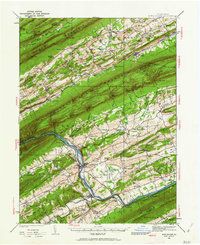
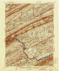
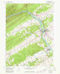
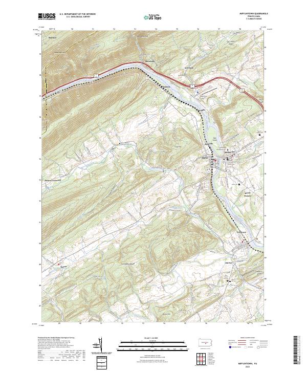
The Juniata River carves a central path through this portion of Juniata County, shaping the development of the twin boroughs of Mifflintown and Mifflin. The landscape is defined by the rigid northeast-southwest orientation of the Appalachian Ridges, specifically Shade Mountain and the Herringbone Ridges. Historical settlement patterns are evident in the concentration of civic life around the Juniata County Courthouse and the numerous small rural communities like Cuba Mills, Denholm, and Old Port that dot the river valley and its tributaries.
Find a feature on this map
86 named features on this map. Tap any name to fly to it.
Don’t see what you’re looking for? This feature index may not catch every label — zoom into the map to look around manually.
Map Details
Editions of this 2023 Mifflintown Map
This is the sole edition of this map. No revisions or reprints were ever made.
Historical Maps of Mount Pleasant Through Time
6 maps found