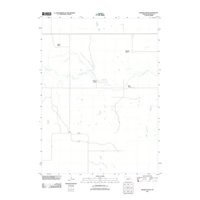
2011 Map of Mignery Ranch
USGS Topo · Published 2011About this map
Beaver Creek winds through this section of the Nebraska Sandhills, serving as the central geographic feature for several prominent homesteads in Wheeler County. The landscape is defined by the dispersed ranching operations that have shaped this region's economy and settlement patterns for generations. Key cattle-ranching landmarks like Stokes Ranch in the northwest and Koinzan Ranch to the northeast anchor the northern portion of the quadrangle. Further south, Mignery Ranch and Day Ranch occupy strategic positions along the creek valley, where the proximity to water and natural drainage would be vital for managing livestock in this semi-arid environment. The road network is sparse, consisting primarily of section-line routes that connect these isolated ranch headquarters.
Find a feature on this map
6 named features on this map. Tap any name to fly to it.
Don’t see what you’re looking for? This feature index may not catch every label — zoom into the map to look around manually.
Map Details
Editions of this 2011 Mignery Ranch Map
This is the sole edition of this map. No revisions or reprints were ever made.
Other maps of this area

1954 · Bartlett SE
USGS Topo · 1:24,000

1954 · Bartlett
USGS Topo · 1:24,000

1955 · Broken Bow
USGS Topo · 1:250,000

1955 · O'Neill
USGS Topo · 1:250,000

1956 · Broken Bow
USGS Topo · 1:250,000

1959 · O'Neill
USGS Topo · 1:250,000

1960 · Spalding 2 SW
USGS Topo · 1:24,000

1960 · Spalding 2 NW
USGS Topo · 1:24,000

1960 · Spalding 2 NE
USGS Topo · 1:24,000

1960 · Spalding 2 SE
USGS Topo · 1:24,000