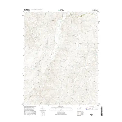
2016 Map of Mike
USGS Topo · Published 2016About this map
Spring Mills and the small crossroads community of Mike anchor this rural landscape along the border of Appomattox and Campbell counties. The area is defined by the complex drainage of the Falling River and its various branches, including the South Fork Falling River and the Little Falling River. The terrain is punctuated by Red Oak Mtn, which rises above a network of country roads named for local landmarks and families.
Find a feature on this map
64 named features on this map. Tap any name to fly to it.
Don’t see what you’re looking for? This feature index may not catch every label — zoom into the map to look around manually.
Map Details
Editions of this 2016 Mike Map
This is the sole edition of this map. No revisions or reprints were ever made.
Other maps of this area

1892 · Lynchburg
USGS Topo · 1:125,000

1892 · Appomattox
USGS Topo · 1:125,000
1944 · Lynchburg
USGS Topo · 1:62,500

1947 · Roanoke
USGS Topo · 1:250,000
1950 · Lynchburg
USGS Topo · 1:62,500
1956 · Brookneal
USGS Topo · 1:62,500
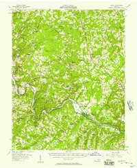
1956 · Gladys
USGS Topo · 1:62,500
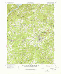
1958 · Appomattox
USGS Topo · 1:62,500

1959 · Roanoke
USGS Topo · 1:250,000
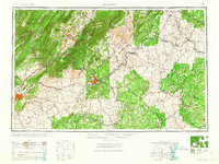
1963 · Roanoke
USGS Topo · 1:250,000