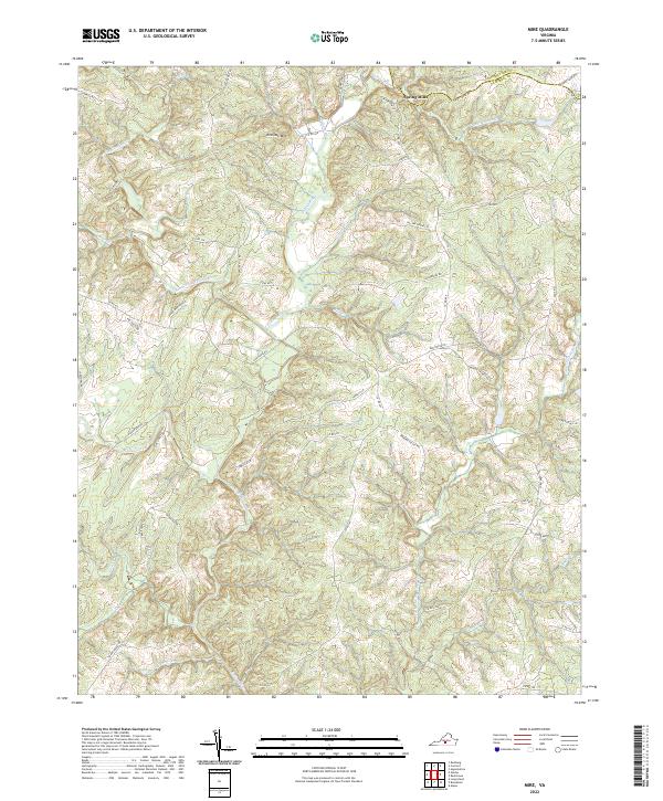
2022 Map of Mike
USGS Topo · Published 2022About this map
Falling River and its numerous tributaries define the drainage patterns of this rural landscape where Campbell County meets Appomattox County. The settlement of Spring Mills sits in the northern reaches, positioned near where Bent Creek Rd and Rattlesnake Cr converge. The topography is dominated by the prominence of Red Oak Mtn, while the complex network of watercourses includes the South Fork Falling River, Little Falling River, and Mollys Creek.
Find a feature on this map
55 named features on this map. Tap any name to fly to it.
Don’t see what you’re looking for? This feature index may not catch every label — zoom into the map to look around manually.
Map Details
Editions of this 2022 Mike Map
This is the sole edition of this map. No revisions or reprints were ever made.
Other maps of this area

1892 · Lynchburg
USGS Topo · 1:125,000

1892 · Appomattox
USGS Topo · 1:125,000

1944 · Lynchburg
USGS Topo · 1:62,500

1947 · Roanoke
USGS Topo · 1:250,000

1950 · Lynchburg
USGS Topo · 1:62,500

1956 · Brookneal
USGS Topo · 1:62,500

1956 · Gladys
USGS Topo · 1:62,500

1958 · Appomattox
USGS Topo · 1:62,500

1959 · Roanoke
USGS Topo · 1:250,000

1963 · Roanoke
USGS Topo · 1:250,000