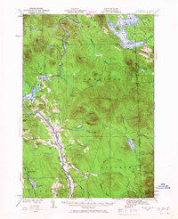
1930 Map of Milan
USGS Topo · Published 1967About this map
The Androscoggin River winds through this 1930 survey of the New Hampshire and Maine borderlands, anchoring a landscape of timber and early aviation. The town of Milan sits at the heart of the valley, surrounded by a network of rural schoolhouses including Willis Sch, Jewett Sch, and Milan Hill Sch. A notable piece of infrastructure is the Berlin Landing Field located just south of the main settlement, alongside the riverbanks.
Find a feature on this map
75 named features on this map. Tap any name to fly to it.
Don’t see what you’re looking for? This feature index may not catch every label — zoom into the map to look around manually.
Map Details
Editions of this 1930 Milan Map
3 editions found
Other maps of this area

1893 · Mt. Washington
USGS Topo · 1:62,500

1893 · Gorham
USGS Topo · 1:62,500

1896 · Mt. Washington
USGS Topo · 1:62,500

1896 · Gorham
USGS Topo · 1:62,500

1914 · Bethel
USGS Topo · 1:62,500

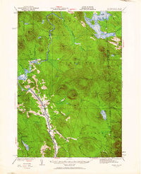
1930 · Milan
USGS Topo · 1:62,500

1930 · Percy
USGS Topo · 1:62,500

1930 · Dixville
USGS Topo · 1:62,500

1930 · Errol
USGS Topo · 1:62,500

1933 · Dixville
USGS Topo · 1:62,500