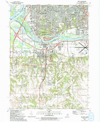
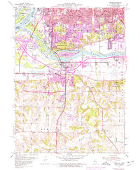
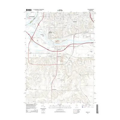
1992 Map of Milan
USGS Topo · Published 1992About this map
The confluence of the Mississippi River and the Rock River dominates this landscape, where the urban grid of Rock Island and Moline gives way to the riverfront islands and the community of Milan. Cultural and historic sites are central to the map, including the Black Hawk State Historical Site on the bluffs and the sprawling Chippiannock Cem. The map reveals the intricate network of schools and civic institutions that defined these neighborhoods in the early 1990s, from the Wharton Field House to Commonwealth College.
Find a feature on this map
89 named features on this map. Tap any name to fly to it.
Don’t see what you’re looking for? This feature index may not catch every label — zoom into the map to look around manually.
Map Details
Editions of this 1992 Milan Map
This is the sole edition of this map. No revisions or reprints were ever made.
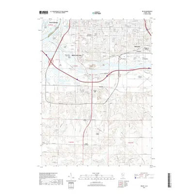
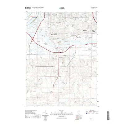
Historical Maps of Davenport Through Time
13 maps found
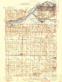
1912 Milan
Rock Island County, IL

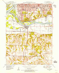
1944 Milan
Rock Island County, IL
1948 Milan
Rock Island County, IL
1950 Milan
Rock Island County, IL
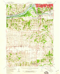
1953 Milan
Rock Island County, IL
1953 Milan
Rock Island County, IL
1992 Milan
Rock Island County, IL
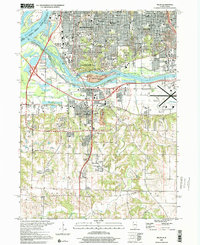
2000 Milan
Rock Island County, IL
2012 Milan
Rock Island County, IL
2015 Milan
Rock Island County, IL
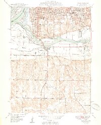
2018 Milan
Rock Island County, IL
2021 Milan
Rock Island County, IL
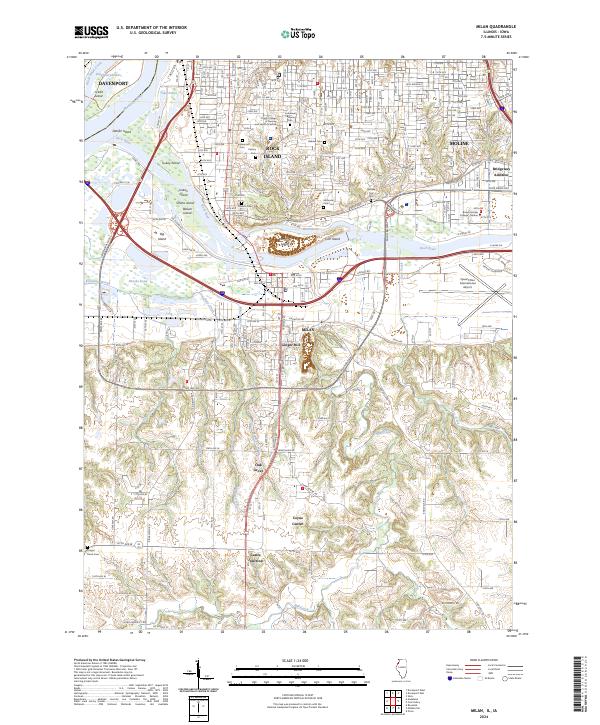
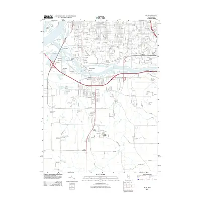
2024 Milan
Rock Island County, IL