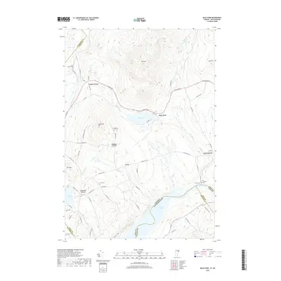
2018 Map of Miles Pond
USGS Topo · Published 2018About this map
The Moose River valley and the upland ridges of Miles Mtn define this Northeastern Vermont landscape as it appeared in the late 2010s. The sheet captures several small settlements and historic crossroads including North Concord, East Concord, and Ralston Corner, each connected by a network of rural routes such as Stagecoach Rd and W Lunenburg Rd. Local genealogy is well-documented through several family and community burial grounds, including Graves Cem, Frye Cem, and the North Concord Cem located just off Willson Rd. Water dominates the southern and western portions of the quadrangle, where the expansive Moore Reservoir follows the border between Vermont and New Hampshire. Smaller water bodies like Shadow Lake and Miles Pond provide clear reference points for those tracing property boundaries or family history near landmarks like Goudreault Hill.
Find a feature on this map
76 named features on this map. Tap any name to fly to it.
Don’t see what you’re looking for? This feature index may not catch every label — zoom into the map to look around manually.
Map Details
Editions of this 2018 Miles Pond Map
This is the sole edition of this map. No revisions or reprints were ever made.
Other maps of this area

1900 · Whitefield
USGS Topo · 1:62,500

1920 · Guildhall
USGS Topo · 1:62,500

1931 · Guildhall
USGS Topo · 1:48,000

1931 · Littleton
USGS Topo · 1:62,500

1932 · Littleton
USGS Topo · 1:48,000

1933 · Guildhall
USGS Topo · 1:48,000

1935 · Littleton
USGS Topo · 1:62,500

1935 · Whitefield
USGS Topo · 1:48,000

1937 · Guildhall
USGS Topo · 1:62,500

1938 · Whitefield
USGS Topo · 1:62,500