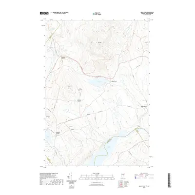
2021 Map of Miles Pond
USGS Topo · Published 2021About this map
Miles Pond and the surrounding high ground of the Connecticut River valley define this Vermont and New Hampshire borderland. Small settlements like North Concord, Ralston Corner, and the curiously named Texas are scattered along a network of mountain roads such as Leonard Hill Rd and Oregon Rd. These small hamlets represent a long-standing pattern of upland habitation in the Northeast, often situated near water sources like Moose River and Halls Brook.
Find a feature on this map
41 named features on this map. Tap any name to fly to it.
Don’t see what you’re looking for? This feature index may not catch every label — zoom into the map to look around manually.
Map Details
Editions of this 2021 Miles Pond Map
This is the sole edition of this map. No revisions or reprints were ever made.
Other maps of this area

1900 · Whitefield
USGS Topo · 1:62,500

1920 · Guildhall
USGS Topo · 1:62,500

1931 · Guildhall
USGS Topo · 1:48,000

1931 · Littleton
USGS Topo · 1:62,500

1932 · Littleton
USGS Topo · 1:48,000

1933 · Guildhall
USGS Topo · 1:48,000

1935 · Littleton
USGS Topo · 1:62,500

1935 · Whitefield
USGS Topo · 1:48,000

1937 · Guildhall
USGS Topo · 1:62,500

1938 · Whitefield
USGS Topo · 1:62,500