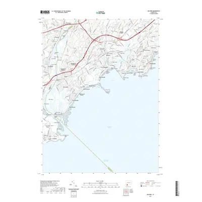
2021 Map of Milford
USGS Topo · Published 2021About this map
The Housatonic River meets Long Island Sound in this detailed 2021 survey, defining the border between Fairfield and New Haven counties. The shoreline is a dense patchwork of coastal neighborhoods and seasonal havens, including Silver Beach, Laurel Beach, and Lordship, with the tidal estuary of Milford Harbor sheltering local maritime traffic. Inland, the landscape is shaped by the Wepawaug River and Indian River drainages, which flow through settled areas like Milford and Naugatuck Gardens.
Find a feature on this map
98 named features on this map. Tap any name to fly to it.
Don’t see what you’re looking for? This feature index may not catch every label — zoom into the map to look around manually.
Map Details
Editions of this 2021 Milford Map
This is the sole edition of this map. No revisions or reprints were ever made.
Other maps of this area

1889 · Derby
USGS Topo · 1:62,500

1891 · Bridgeport
USGS Topo · 1:62,500

1891 · Derby
USGS Topo · 1:62,500

1892 · New Haven
USGS Topo · 1:62,500

1893 · Bridgeport
USGS Topo · 1:62,500

1893 · Derby
USGS Topo · 1:62,500

1920 · Bridgeport
USGS Topo · 1:62,500

1921 · New Haven
USGS Topo · 1:62,500

1943 · New Haven
USGS Topo · 1:31,680
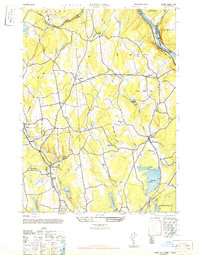
1947 · Long Hill
USGS Topo · 1:31,680