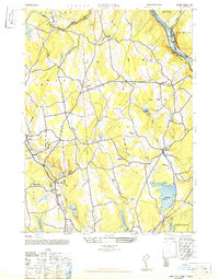
1947 Map of Long Hill
USGS Topo · Published 1947About this map
The Housatonic River corridor defines the northeastern edge of this mid-century landscape, where the New York New Haven and Hartford (Maybrook Branch) railroad hugs the shoreline near Indian Well State Park. In the center of the sheet, the settlement of Monroe serves as a hub for local transit, situated between the Boys Halfway River and the Farmill River. This era shows a region balancing small-town agricultural roots with an expanding water infrastructure, evidenced by the large footprints of the Trap Falls Reservoir, Canoe Brook Reservoir, and Isinglass Reservoir.
Find a feature on this map
35 named features on this map. Tap any name to fly to it.
Don’t see what you’re looking for? This feature index may not catch every label — zoom into the map to look around manually.
Map Details
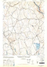
Editions of this 1947 Long Hill Map
2 editions found
Other maps of this area

1889 · Derby
USGS Topo · 1:62,500

1891 · Bridgeport
USGS Topo · 1:62,500

1891 · Derby
USGS Topo · 1:62,500

1892 · Danbury
USGS Topo · 1:62,500

1892 · Norwalk
USGS Topo · 1:62,500

1893 · Bridgeport
USGS Topo · 1:62,500

1893 · Norwalk
USGS Topo · 1:62,500

1893 · Derby
USGS Topo · 1:62,500

1915 · Danbury
USGS Topo · 1:62,500

1920 · Bridgeport
USGS Topo · 1:62,500