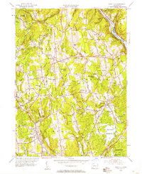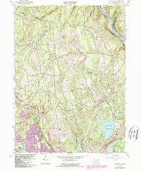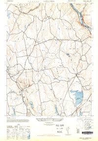
1947 Map of Long Hill
USGS Topo · Published 1947About this map
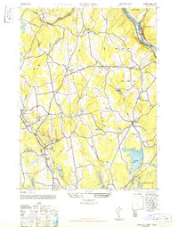
The Housatonic River carves the northeast corner of this Connecticut landscape, providing a natural boundary for Seymour and Oxford. This mid-century survey reveals a region defined by its water management and agricultural roots, with numerous catchment areas including Trap Falls Reservoir, Isinglass Reservoir, and Canoe Brook Reservoir dotting the hills. The New York New Haven and Hartford railroad follows the winding path of the Halfway River, serving the small interior settlements of Monroe and Stepney. Recreational spaces like Indian Well State Park and the Fairfield State Park Grounds Picnic area signify the era's growing focus on public parklands along the river valley. In the southern reaches, the expansion of local water systems is evident through features like Bunnells Upper Reservoir and Beaver Dam Lake, which sit amidst a network of ridges including Walnut Tree Hill and Booth Hill.
Find a feature on this map
34 named features on this map. Tap any name to fly to it.
Don’t see what you’re looking for? This feature index may not catch every label — zoom into the map to look around manually.
Map Details
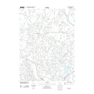
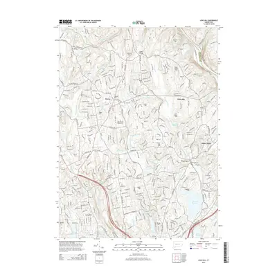
Editions of this 1947 Long Hill Map
2 editions found
Historical Maps of Stratford Through Time
8 maps found