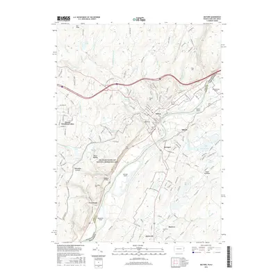
2016 Map of Milford
USGS Topo · Published 2016About this map
The Delaware River serves as the central artery for this mid-2010s survey, marking the state boundary between Pennsylvania and New Jersey. Centered on the borough of Milford, the landscape transitions from the developed streets and cemeteries like Milford Cem to the protected expanse of the Delaware Water Gap National Recreation Area. The river's path is punctuated by significant landforms such as Minisink Island and Mashipacong Island, while the surrounding terrain rises sharply toward landmarks like The Knob and The Cliff.
Find a feature on this map
55 named features on this map. Tap any name to fly to it.
Don’t see what you’re looking for? This feature index may not catch every label — zoom into the map to look around manually.
Map Details
Editions of this 2016 Milford Map
This is the sole edition of this map. No revisions or reprints were ever made.
Other maps of this area

1888 · Franklin
USGS Topo · 1:62,500

1891 · Wallpack
USGS Topo · 1:62,500

1893 · Wallpack
USGS Topo · 1:62,500

1894 · Franklin
USGS Topo · 1:62,500

1897 · Franklin
USGS Topo · 1:62,500

1903 · Franklin Furnace
USGS Topo · 1:62,500

1906 · Port Jervis
USGS Topo · 1:62,500

1908 · Port Jervis
USGS Topo · 1:62,500

1913 · Milford
USGS Topo · 1:62,500

1915 · Milford
USGS Topo · 1:62,500
Featured Places
- Montague Township, NJ
- Westfall Township, PA
- Milford Township, PA
- Dingman Township, PA
- Silver Spring, Dingman Township