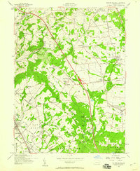
1957 Map of Milford Square
USGS Topo · Published 1959About this map
Spinnerstown and Milford Square anchor this landscape during the mid-20th-century expansion of southeastern Pennsylvania's road networks. The newly constructed Pennsylvania Turnpike Northeast Extension cuts a straight diagonal through the terrain, featuring Interchange 32, while older routes like the Reading Lane and St Pauls Church Rd trace the earlier rural geography. The region's ecclesiastical history is prominent, with several congregations identified by their location in the lowland drainage areas, including Great Swamp Ch, West Swamp Ch, and East Swamp Ch.
Find a feature on this map
100 named features on this map. Tap any name to fly to it.
Don’t see what you’re looking for? This feature index may not catch every label — zoom into the map to look around manually.
Map Details
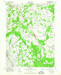
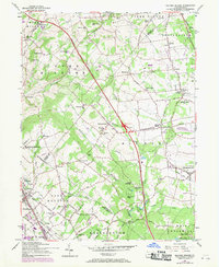
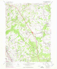
Editions of this 1957 Milford Square Map
4 editions found
Other maps of this area

1888 · Quakertown
USGS Topo · 1:62,500

1890 · Quakertown
USGS Topo · 1:62,500

1894 · Allentown
USGS Topo · 1:62,500

1894 · Quakertown
USGS Topo · 1:62,500

1902 · Boyertown
USGS Topo · 1:62,500

1902 · Slatington
USGS Topo · 1:62,500

1937 · Allentown West
USGS Topo · 1:48,000

1939 · Allentown
USGS Topo · 1:62,500

1942 · Norristown
USGS Topo · 1:125,000

1942 · Allentown West
USGS Topo · 1:62,500