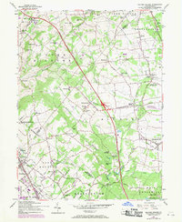
1957 Map of Milford Square
USGS Topo · Published 1970About this map
The Northeast Extension Pennsylvania Turnpike bisects this landscape, cutting a modern corridor through established farming communities and timbered slopes like the Beverly Hills. The map documents a transition point for Bucks and Lehigh Counties, where traditional centers like Spinnerstown and Trumbauersville meet postwar infrastructure, including the Upper Bucks County Airport and the expanding Green Lane Reservoir in the southwest corner.
Find a feature on this map
91 named features on this map. Tap any name to fly to it.
Don’t see what you’re looking for? This feature index may not catch every label — zoom into the map to look around manually.
Map Details
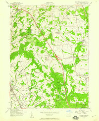
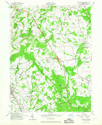
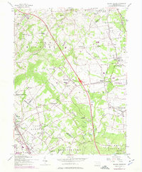
Editions of this 1957 Milford Square Map
4 editions found
Other maps of this area

1888 · Quakertown
USGS Topo · 1:62,500

1890 · Quakertown
USGS Topo · 1:62,500

1894 · Allentown
USGS Topo · 1:62,500

1894 · Quakertown
USGS Topo · 1:62,500

1902 · Boyertown
USGS Topo · 1:62,500

1902 · Slatington
USGS Topo · 1:62,500

1937 · Allentown West
USGS Topo · 1:48,000

1939 · Allentown
USGS Topo · 1:62,500

1942 · Norristown
USGS Topo · 1:125,000

1942 · Allentown West
USGS Topo · 1:62,500