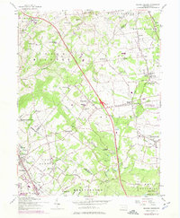
1957 Map of Milford Square
USGS Topo · Published 1974About this map
Dillingerville and Spinnerstown anchor a landscape defined by the convergence of Lehigh, Bucks, and Montgomery counties during the mid-20th century. The terrain is marked by a transition from the agricultural valleys of Schmoutz Creek and Unami Creek to the industrial and transportation corridors of the Reading railroad and the Pennsylvania Turnpike Northeast Extension. Settlement patterns here reflect deep German-American roots, evidenced by a dense network of religious sites such as the Great Swamp Ch, Krassdale-Schwenksfelder Ch, and Zionsville Ch. To the south, the expansion of the Green Lane Reservoir reshaped the natural drainage of Macoby Creek, while the presence of the Upper Bucks County Airport and local landmarks like the Brick Tavern illustrate the area's gradual modernization. This map captures the region just as suburban growth began to intersect with long-standing rural hamlets like Geryville and Mumbauersville.
Find a feature on this map
87 named features on this map. Tap any name to fly to it.
Don’t see what you’re looking for? This feature index may not catch every label — zoom into the map to look around manually.
Map Details
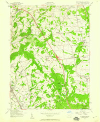
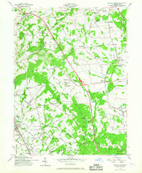
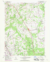
Editions of this 1957 Milford Square Map
4 editions found
Other maps of this area

1888 · Quakertown
USGS Topo · 1:62,500

1890 · Quakertown
USGS Topo · 1:62,500

1894 · Allentown
USGS Topo · 1:62,500

1894 · Quakertown
USGS Topo · 1:62,500

1902 · Boyertown
USGS Topo · 1:62,500

1902 · Slatington
USGS Topo · 1:62,500

1937 · Allentown West
USGS Topo · 1:48,000

1939 · Allentown
USGS Topo · 1:62,500

1942 · Norristown
USGS Topo · 1:125,000

1942 · Allentown West
USGS Topo · 1:62,500