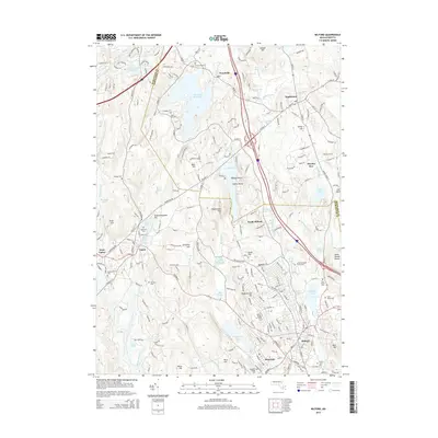
2015 Map of Milford
USGS Topo · Published 2015About this map
The Charles River and the Mill River anchor the drainage patterns of this South-Central Massachusetts landscape, where industry and community have long centered on the water. In the southern portion of the sheet, the industrial heritage of the area is visible through the organized layouts of Milford and Hopedale, while the northern reaches transitions into the residential and agricultural textures of Hopkinton and Woodville. Numerous reservoirs and impoundments, such as Whitehall Reservoir and Fiske Millpond, illustrate the historical manipulation of local waterways for power and municipal needs. Genealogists will find a high density of burial grounds, including the centrally located Old First Cem, the sprawling Pine Grove Cem, and the North Purchase Street Cem. The terrain is defined by a series of prominent rises like Peppercorn Hill and Magomiscock Hill, which overlook a network of established roads and suburban growth expanding from the historic village cores.
Find a feature on this map
237 named features on this map. Tap any name to fly to it.
Don’t see what you’re looking for? This feature index may not catch every label — zoom into the map to look around manually.
Map Details
Editions of this 2015 Milford Map
This is the sole edition of this map. No revisions or reprints were ever made.
Other maps of this area

1886 · Blackstone
USGS Topo · 1:62,500

1886 · Framingham
USGS Topo · 1:62,500

1887 · Franklin
USGS Topo · 1:62,500

1887 · Marlboro
USGS Topo · 1:62,500

1889 · Marlboro
USGS Topo · 1:62,500

1889 · Blackstone
USGS Topo · 1:62,500

1889 · Franklin
USGS Topo · 1:62,500

1889 · Framingham
USGS Topo · 1:62,500

1893 · Franklin
USGS Topo · 1:62,500

1893 · Blackstone
USGS Topo · 1:62,500