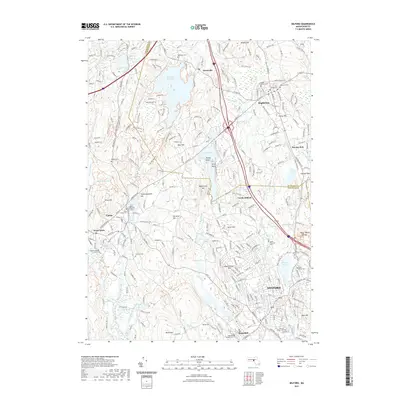
2021 Map of Milford
USGS Topo · Published 2021About this map
The Charles River and Mill River anchor this detailed look at a historic industrial corridor within Milford, Hopkinton, and Hopedale. Highlighting a landscape shaped by water power and stone, the map reveals numerous water bodies like Whitehall Reservoir, Milford Pond, and the Fiske Millpond. For genealogists, the map is particularly valuable for its documentation of numerous burial grounds, including the large Saint Marys Cem, Vernon Grove Cem, and the more secluded Valentine Cem and Bear Hill Cem. Transport and recreation are visible through an extensive trail network including the Upper Charles Trl and Bridge Road Trl. The geography is defined by prominent rises such as Peppercorn Hill and the Rocky Woods Range, while local industry is hinted at by features like College Rock and Echo Lake situated near the town centers.
Find a feature on this map
91 named features on this map. Tap any name to fly to it.
Don’t see what you’re looking for? This feature index may not catch every label — zoom into the map to look around manually.
Map Details
Editions of this 2021 Milford Map
This is the sole edition of this map. No revisions or reprints were ever made.
Other maps of this area

1886 · Blackstone
USGS Topo · 1:62,500

1886 · Framingham
USGS Topo · 1:62,500

1887 · Franklin
USGS Topo · 1:62,500

1887 · Marlboro
USGS Topo · 1:62,500

1889 · Marlboro
USGS Topo · 1:62,500

1889 · Blackstone
USGS Topo · 1:62,500

1889 · Franklin
USGS Topo · 1:62,500

1889 · Framingham
USGS Topo · 1:62,500

1893 · Franklin
USGS Topo · 1:62,500

1893 · Blackstone
USGS Topo · 1:62,500