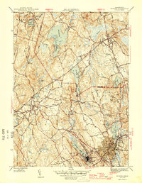
1946 Map of Milford
USGS Topo · Published 1946About this map
Milford and the surrounding Worcester County townships appear at a mid-century peak of industrial and agricultural balance. The landscape is defined by its water infrastructure and industrial roots, featuring the Whitehall Reservoir in the north and a complex of smaller bodies like Louisa Lake and Cedar Swamp Pond that historically supported local industry. The rail corridors of the New York Central and the New Haven and Hartford intersect near the dense urban cores, tracing the path of commerce that shaped these valley settlements.
Find a feature on this map
48 named features on this map. Tap any name to fly to it.
Don’t see what you’re looking for? This feature index may not catch every label — zoom into the map to look around manually.
Map Details
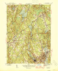
Editions of this 1946 Milford Map
2 editions found
Other maps of this area

1886 · Blackstone
USGS Topo · 1:62,500

1886 · Framingham
USGS Topo · 1:62,500

1887 · Franklin
USGS Topo · 1:62,500

1887 · Marlboro
USGS Topo · 1:62,500

1889 · Marlboro
USGS Topo · 1:62,500

1889 · Blackstone
USGS Topo · 1:62,500

1889 · Franklin
USGS Topo · 1:62,500

1889 · Framingham
USGS Topo · 1:62,500

1893 · Franklin
USGS Topo · 1:62,500

1893 · Blackstone
USGS Topo · 1:62,500