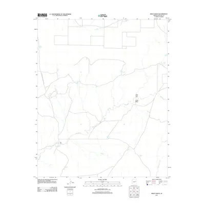
2011 Map of Milky Ranch
USGS Topo · Published 2011About this map
Milky Ranch and Potter Place anchor this 2011 survey of the high desert landscape in Apache County. The western edge of the quadrangle includes a portion of Petrified Forest National Park, while the rest of the terrain is defined by an extensive network of water management features essential for ranching in this arid environment. Dozens of catchment basins, such as Hashknife Tank, Badlands Tank, and Middle Wallace Tank, are distributed across the drainage basins of Milky Wash and Beaver Dam Wash. The prevalence of these named tanks alongside family-named landmarks like Potter Place Draw and Potter Tank illustrates a landscape where survival and industry are dictated by the seasonal flow of ephemeral washes and the careful collection of surface water.
Find a feature on this map
21 named features on this map. Tap any name to fly to it.
Don’t see what you’re looking for? This feature index may not catch every label — zoom into the map to look around manually.
Map Details
Editions of this 2011 Milky Ranch Map
This is the sole edition of this map. No revisions or reprints were ever made.
Other maps of this area
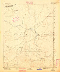
1886 · St Johns
USGS Topo · 1:250,000
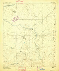
1892 · St Johns
USGS Topo · 1:250,000
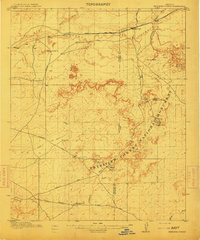
1912 · Petrified Forest
USGS Topo · 1:62,500

1954 · Saint Johns
USGS Topo · 1:250,000
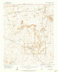
1955 · Petrified Forest
USGS Topo · 1:62,500
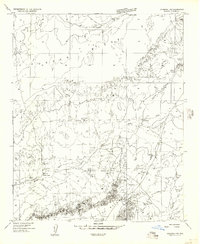
1955 · Adamana 1 SW
USGS Topo · 1:24,000
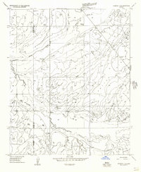
1955 · Adamana 3 NE
USGS Topo · 1:24,000
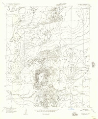
1955 · Adamana 4 NE
USGS Topo · 1:24,000
1955 · Adamana 4 NW
USGS Topo · 1:24,000
1955 · Hunt
USGS Topo · 1:62,500