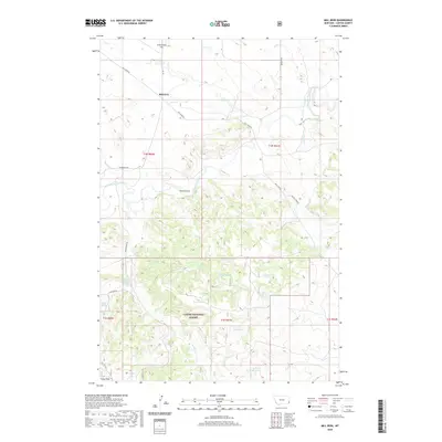
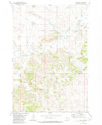
2020 Map of Mill Iron
USGS Topo · Published 2020About this map
Mill Iron sits at the northern end of this landscape, where the local road network including Mill Iron Rd and Prairiedale Rd connects the high plains of Carter County. The terrain is defined by a series of drainages and springs that support ranching operations in this arid environment, evidenced by numerous named water sources like Patton Spring Number 2, Wood Gulch Spring, and Hatch Spring.
Find a feature on this map
30 named features on this map. Tap any name to fly to it.
Don’t see what you’re looking for? This feature index may not catch every label — zoom into the map to look around manually.
Map Details
Editions of this 2020 Mill Iron Map
This is the sole edition of this map. No revisions or reprints were ever made.
Other maps of this area

1954 · Ekalaka
USGS Topo · 1:250,000

1956 · Ekalaka
USGS Topo · 1:250,000

1958 · Ekalaka
USGS Topo · 1:250,000

1965 · Ekalaka
USGS Topo · 1:250,000

1980 · Belltower
USGS Topo · 1:24,000
1980 · Rustler Divide
USGS Topo · 1:24,000

1980 · Dutchmans Hill
USGS Topo · 1:24,000
1980 · Lampkin Gulch
USGS Topo · 1:24,000
1980 · Humbolt Hills
USGS Topo · 1:24,000
1980 · Mill Iron
USGS Topo · 1:24,000