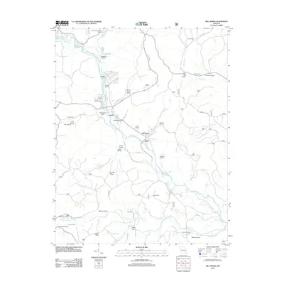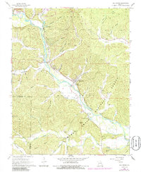
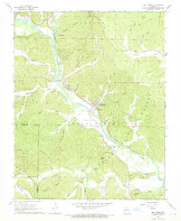
1968 Map of Mill Spring
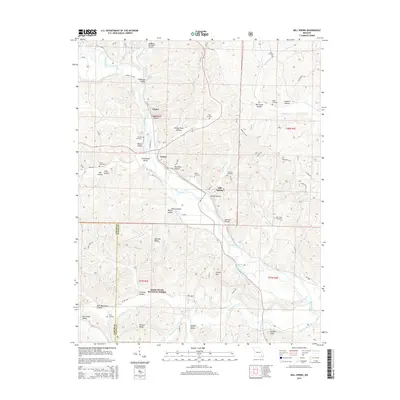
USGS Topo · Published 1985About this map
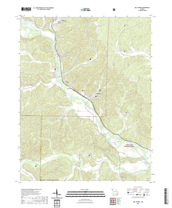
The Black River corridor defines this portion of the Ozark foothills, where the Missouri Pacific River railroad line dictates the placement of valley settlements. Leeper and Mill Spring serve as the primary hubs along the river, surrounded by numerous family-named cemeteries and rural congregations such as Shady Nook Ch and Mt Olive Ch. The terrain is characterized by a dense network of hollows, including Stillhouse Hollow and Evans Hollow, which historically served as the primary routes through the hills before modern road development.
Find a feature on this map
64 named features on this map. Tap any name to fly to it.
Don’t see what you’re looking for? This feature index may not catch every label — zoom into the map to look around manually.
Map Details
Editions of this 1968 Mill Spring Map
2 editions found
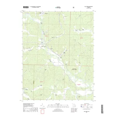
Historical Maps of Piedmont Through Time
5 maps found