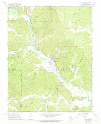
1968 Map of Mill Spring
USGS Topo · Published 1969About this map
Mill Spring and Leeper serve as the primary focal points in this late 1960s study of the Black River valley in Wayne County. The landscape is defined by the sharp transition from the river bottomlands to the densely wooded ridges of the Mark Twain National Forest, where steep drainages like Mining Town Hollow and Stillhouse Hollow suggest a history of localized industry and settlement. The Missouri Pacific River railroad follows the winding river course, passing through the heart of these small communities. Family history is etched across the terrain in numerous burial sites, including the Leeper Cem, Bowles Cem, and Wormack Cem. From the heights of Bear Mtn and Bunkers Knob down to the unusual hydrological feature known as The Gulf, the map documents a rural Missouri landscape where life remained closely tied to the water and the timbered hills.
Find a feature on this map
69 named features on this map. Tap any name to fly to it.
Don’t see what you’re looking for? This feature index may not catch every label — zoom into the map to look around manually.
Map Details
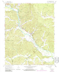
Editions of this 1968 Mill Spring Map
2 editions found
Other maps of this area

1932 · Piedmont
USGS Topo · 1:62,500

1934 · Williamsville
USGS Topo · 1:48,000

1935 · Piedmont
USGS Topo · 1:62,500

1940 · Williamsville
USGS Topo · 1:62,500

1943 · Ellington
USGS Topo · 1:62,500

1944 · Grandin
USGS Topo · 1:62,500

1945 · Ellington
USGS Topo · 1:62,500

1946 · Grandin
USGS Topo · 1:62,500

1949 · Rolla
USGS Topo · 1:250,000

1953 · Rolla
USGS Topo · 1:250,000