Loading...
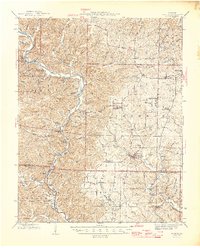
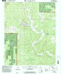
Loading map...1946 Map of Grandin
USGS Topo · Published 1946About this map
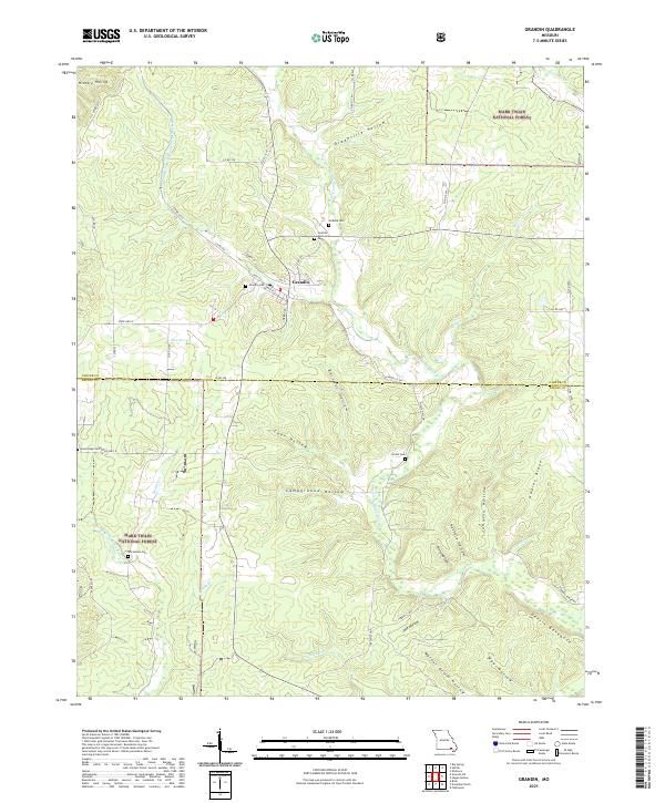
Current River and the Little Black River dominate this Ozark landscape, where the town of Grandin serves as a local hub near the southern edge of the National Forest. The area's industrial history is etched into the terrain at the Old Iron Mines and Solomon Mines, while the Big Spring State Park preserves the natural features of the river valley. Numerous small settlements like Chilton, Hunter, and Ellsinore are connected by a network of rural roads that pass through timbered ridges and hollows.
Find a feature on this map
131 named features on this map. Tap any name to fly to it.
Don’t see what you’re looking for? This feature index may not catch every label — zoom into the map to look around manually.
Map Details
Date Portrayed1946
Date Published1946
PublisherU.S. Geological Survey
Map TypeTopographic
Scale1:62,500
Physical Dimensions17.1 x 21.23 inches
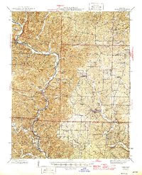
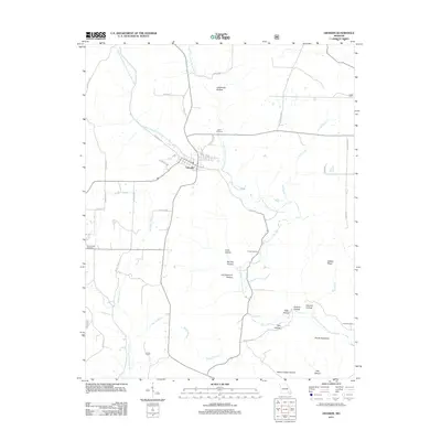
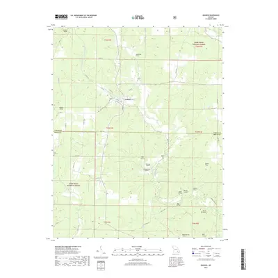
Editions of this 1946 Grandin Map
2 editions found
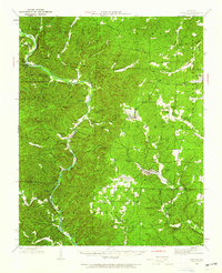
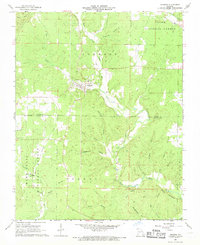
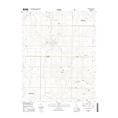
Historical Maps of Ellsinore Through Time
8 maps found
Featured Locations
Source Details
SourceU.S. Geological Survey
CopyrightPublic Domain