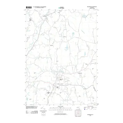
2010 Map of Millbrook
USGS Topo · Published 2010About this map
Stanfordville and the village of Millbrook anchor this landscape in Dutchess County, where the topography is defined by the winding course of Wappinger Creek and its many tributaries like East Branch Wappinger Creek. The area maintains a strong agricultural and pastoral character, evidenced by numerous namesake operations such as Thunder Hill Farm and Hasbrouck Tree Farm. For local historians and genealogists, the map is particularly rich in burial sites, documenting Nine Partners Cemetery, Stanford Cemetery, and Haight Cemetery.
Find a feature on this map
94 named features on this map. Tap any name to fly to it.
Don’t see what you’re looking for? This feature index may not catch every label — zoom into the map to look around manually.
Map Details
Editions of this 2010 Millbrook Map
This is the sole edition of this map. No revisions or reprints were ever made.
Other maps of this area

1893 · Clove
USGS Topo · 1:62,500

1893 · Poughkeepsie
USGS Topo · 1:62,500

1894 · Clove
USGS Topo · 1:62,500

1894 · Poughkeepsie
USGS Topo · 1:62,500

1898 · Clove
USGS Topo · 1:62,500

1898 · Rhinebeck
USGS Topo · 1:62,500

1899 · Millbrook
USGS Topo · 1:62,500

1901 · Clove
USGS Topo · 1:62,500

1902 · Millbrook
USGS Topo · 1:62,500

1903 · Poughkeepsie
USGS Topo · 1:62,500