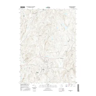
2016 Map of Millbrook
USGS Topo · Published 2016About this map
Stanfordville and Millbrook anchor this landscape in Dutchess County, where the terrain transitions from the wetland reaches of Tamarack Swamp to the high ground of Chestnut Ridge. The map details a sophisticated network of 18th and 19th-century foundations, particularly evident in the concentration of burial grounds like the Nine Partners Cem and Stanfordville Friends Cem, which speak to the area’s deep Quaker and early settler roots. While the valley floor follows the meandering path of Wappinger Creek, the uplands are defined by distinctive geological formations such as The Hogback and Round Hill.
Find a feature on this map
134 named features on this map. Tap any name to fly to it.
Don’t see what you’re looking for? This feature index may not catch every label — zoom into the map to look around manually.
Map Details
Editions of this 2016 Millbrook Map
This is the sole edition of this map. No revisions or reprints were ever made.
Other maps of this area

1893 · Clove
USGS Topo · 1:62,500

1893 · Poughkeepsie
USGS Topo · 1:62,500

1894 · Clove
USGS Topo · 1:62,500

1894 · Poughkeepsie
USGS Topo · 1:62,500

1898 · Clove
USGS Topo · 1:62,500

1898 · Rhinebeck
USGS Topo · 1:62,500

1899 · Millbrook
USGS Topo · 1:62,500

1901 · Clove
USGS Topo · 1:62,500

1902 · Millbrook
USGS Topo · 1:62,500

1903 · Poughkeepsie
USGS Topo · 1:62,500