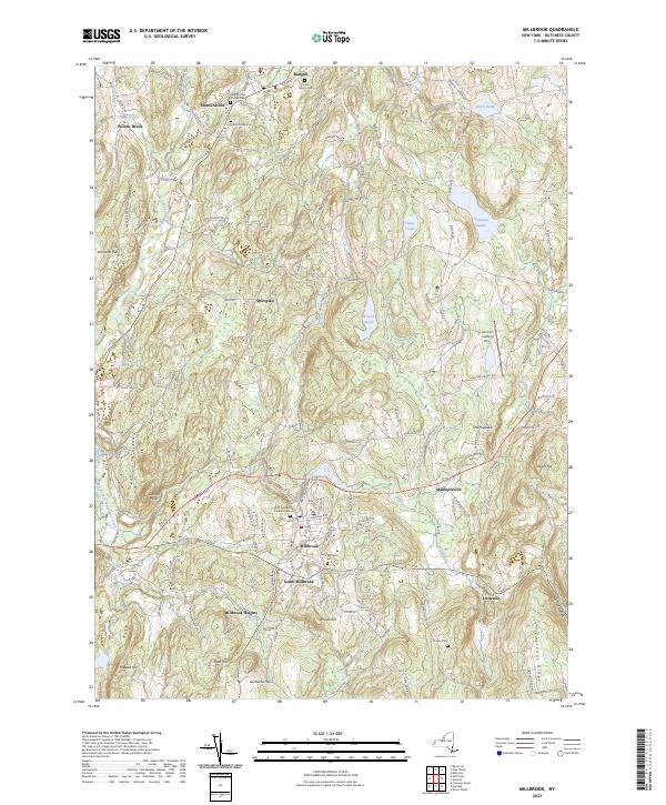
2023 Map of Millbrook
USGS Topo · Published 2023About this map
Millbrook and South Millbrook serve as the focal points of this central Dutchess County landscape, where the terrain transitions from the low-lying wetlands of Tamarack Swamp and Shaw Pond into the rising elevations of Chestnut Ridge and Tower Hill. The map documents a deeply rooted rural infrastructure defined by historic burial grounds, including the Nine Partners Cem and the Stanfordville Friends Cem near the northern edge.
Find a feature on this map
130 named features on this map. Tap any name to fly to it.
Don’t see what you’re looking for? This feature index may not catch every label — zoom into the map to look around manually.
Map Details
Editions of this 2023 Millbrook Map
This is the sole edition of this map. No revisions or reprints were ever made.
Other maps of this area

1893 · Clove
USGS Topo · 1:62,500

1893 · Poughkeepsie
USGS Topo · 1:62,500

1894 · Clove
USGS Topo · 1:62,500

1894 · Poughkeepsie
USGS Topo · 1:62,500

1898 · Clove
USGS Topo · 1:62,500

1898 · Rhinebeck
USGS Topo · 1:62,500

1899 · Millbrook
USGS Topo · 1:62,500

1901 · Clove
USGS Topo · 1:62,500

1902 · Millbrook
USGS Topo · 1:62,500

1903 · Poughkeepsie
USGS Topo · 1:62,500