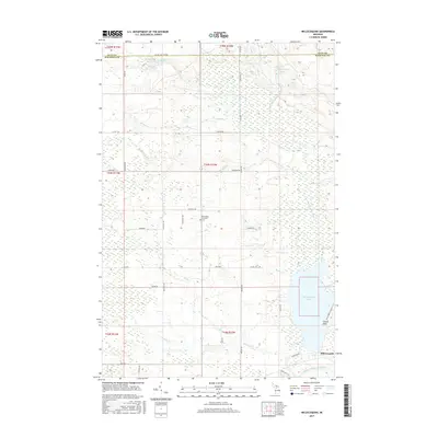
2017 Map of Millecoquins
USGS Topo · Published 2017About this map
Millecoquins Lake and its intricate drainage network dominate this Upper Peninsula landscape along the boundary of Luce and Mackinac counties. The hydrology is defined by the Upper Millecoquins River flowing from the north and the Lower Millecoquins River exiting the lake's southern reach, supplemented by numerous tributaries such as Skunk Cr and Furlong Cr. This area is characterized by a high concentration of wetlands and small water bodies like Millecoquins Pond, which influence the local road grid.
Find a feature on this map
53 named features on this map. Tap any name to fly to it.
Don’t see what you’re looking for? This feature index may not catch every label — zoom into the map to look around manually.
Map Details
Editions of this 2017 Millecoquins Map
This is the sole edition of this map. No revisions or reprints were ever made.
Other maps of this area

1931 · Gould City NE
USGS Topo · 1:31,680

1931 · Gould City NW
USGS Topo · 1:31,680

1931 · Gould City SE
USGS Topo · 1:31,680

1931 · Gilchrist NW
USGS Topo · 1:31,680

1954 · Sault Sainte Marie
USGS Topo · 1:250,000

1956 · Sault Sainte Marie
USGS Topo · 1:250,000

1957 · Sault Sainte Marie
USGS Topo · 1:250,000

1958 · Sault Sainte Marie
USGS Topo · 1:250,000
1973 · Curtis East
USGS Topo · 1:24,000
1973 · McMillan
USGS Topo · 1:24,000