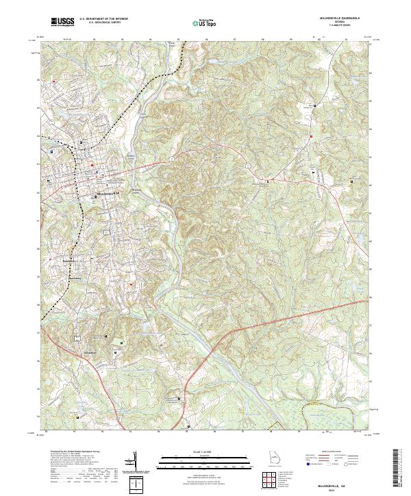
2024 Map of Milledgeville
USGS Topo · Published 2024About this map
The Oconee River winds through this central Georgia landscape, anchoring the historic city of Milledgeville and its surrounding communities. As the former state capital, the area's institutional character is evident through the footprints of Georgia College and State University and the Georgia Military College Milledgeville Campus. The map reveals a dense concentration of civic and memorial sites, including the Baldwin County Courthouse and several significant burial grounds such as the Memory Hill Cem and the Georgia Veterans Memorial Cem Milledgeville.
Find a feature on this map
76 named features on this map. Tap any name to fly to it.
Don’t see what you’re looking for? This feature index may not catch every label — zoom into the map to look around manually.
Map Details
Editions of this 2024 Milledgeville Map
This is the sole edition of this map. No revisions or reprints were ever made.
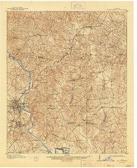
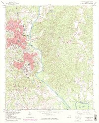
Historical Maps of Montpelier Through Time
4 maps found