1981 Map of Milledgeville
USGS Topo · Published 1981About this map
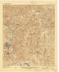
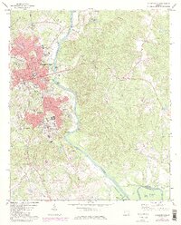
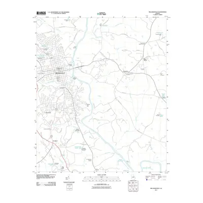
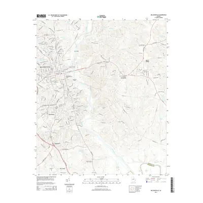
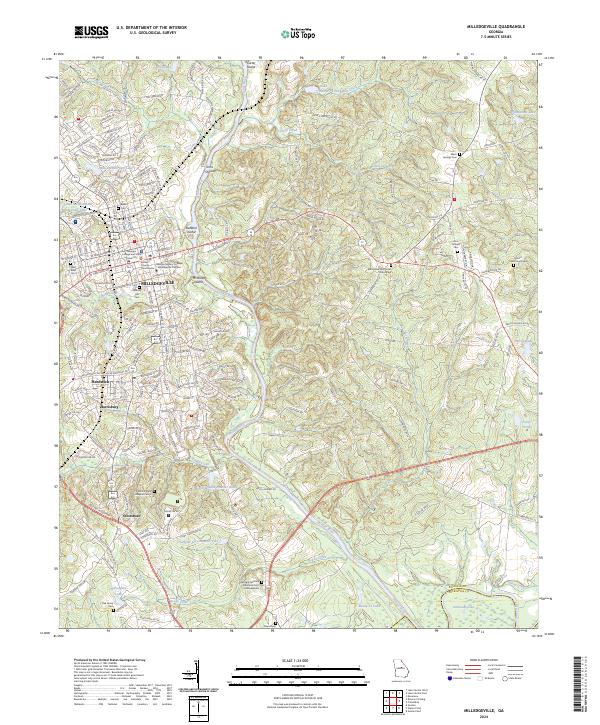
Milledgeville serves as the focal point of this regional study, which captures a landscape defined by its river systems and expansive public lands in the early 1980s. The city is situated at the confluence of the Oconee River and Fishing Creek, with the campus of Georgia Military College and the neighboring community of Hardwick clearly delineated. To the north and west, the reservoir of Lake Sinclair dominates the topography, while the extensive boundaries of the Oconee National Forest and the Piedmont National Wildlife Refuge preserve the wooded character of the Middle Georgia piedmont.
Find a feature on this map
118 named features on this map. Tap any name to fly to it.
Don’t see what you’re looking for? This feature index may not catch every label — zoom into the map to look around manually.
Map Details
Editions of this 1981 Milledgeville Map
2 editions found
Historical Maps of Milledgeville Through Time
8 maps found