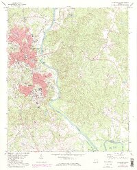
1972 Map of Milledgeville
USGS Topo · Published 1984About this map
Milledgeville serves as a dense educational and institutional hub along the banks of the Oconee River during the early 1970s. The map captures the significant presence of Georgia College and Georgia Military College at the heart of the city, alongside the sprawling grounds of the State Hospital and nearby Hardwick. Transportation corridors define the settlement patterns, with the Central of Georgia and Seaboard Coast Line railroads cutting through the landscape to support the local economy.
Find a feature on this map
54 named features on this map. Tap any name to fly to it.
Don’t see what you’re looking for? This feature index may not catch every label — zoom into the map to look around manually.
Map Details
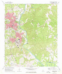
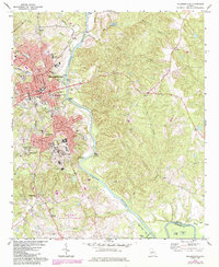
Editions of this 1972 Milledgeville Map
3 editions found
Other maps of this area

1912 · Milledgeville
USGS Topo · 1:62,500

1916 · Irwinton
USGS Topo · 1:62,500

1920 · Irwinton
USGS Topo · 1:62,500

1953 · Athens
USGS Topo · 1:250,000

1956 · Gordon
USGS Topo · 1:62,500

1957 · Macon
USGS Topo · 1:250,000

1958 · Macon
USGS Topo · 1:250,000

1958 · Athens
USGS Topo · 1:250,000

1959 · Athens
USGS Topo · 1:250,000

1963 · Athens
USGS Topo · 1:250,000