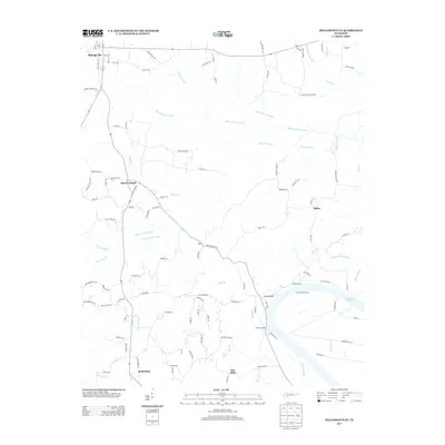
2013 Map of Milledgeville
USGS Topo · Published 2013About this map
Milledgeville and the surrounding rural communities of McNairy County are defined by a complex network of waterways and agricultural drainage projects shown in this 2013 study. The landscape is heavily altered by extensive engineering, visible in the straight lines of the White Oak Creek Canal, Hurricane Creek Canal, and Mud Creek Canal. These man-made channels were designed to manage the bottomlands where the Salt River and various forks of Mud Creek converge, facilitating the region's long-standing farming tradition.
Find a feature on this map
114 named features on this map. Tap any name to fly to it.
Don’t see what you’re looking for? This feature index may not catch every label — zoom into the map to look around manually.
Map Details
Editions of this 2013 Milledgeville Map
This is the sole edition of this map. No revisions or reprints were ever made.
Other maps of this area

1936 · Savannah
USGS Topo · 1:24,000

1936 · Hookers Bend
USGS Topo · 1:24,000

1936 · Leapwood
USGS Topo · 1:24,000

1936 · Thurman
USGS Topo · 1:24,000

1936 · Sardis
USGS Topo · 1:24,000

1936 · Milledgeville
USGS Topo · 1:24,000

1936 · Enville
USGS Topo · 1:24,000

1936 · Pittsburg Landing
USGS Topo · 1:24,000

1936 · Stantonville
USGS Topo · 1:24,000

1949 · Hookers Bend
USGS Topo · 1:24,000