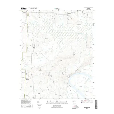
2016 Map of Milledgeville
USGS Topo · Published 2016About this map
Kentucky Lake and its intricate shoreline dominate the southeastern corner of this McNairy and Hardin County landscape, where the waters of the Tennessee River system meet a heavily canalized drainage network. The interior is defined by an extensive system of engineered waterways designed to manage the low-lying terrain, including the White Oak Creek Canal, Mud Creek Canal, and Hurricane Cr Canal. These channels cut through the timbered bottoms near settlements like Morris Chapel and Milledgeville, reflecting a long history of land reclamation and water management in the region.
Find a feature on this map
117 named features on this map. Tap any name to fly to it.
Don’t see what you’re looking for? This feature index may not catch every label — zoom into the map to look around manually.
Map Details
Editions of this 2016 Milledgeville Map
This is the sole edition of this map. No revisions or reprints were ever made.
Other maps of this area

1936 · Savannah
USGS Topo · 1:24,000

1936 · Hookers Bend
USGS Topo · 1:24,000

1936 · Leapwood
USGS Topo · 1:24,000

1936 · Thurman
USGS Topo · 1:24,000

1936 · Sardis
USGS Topo · 1:24,000

1936 · Milledgeville
USGS Topo · 1:24,000

1936 · Enville
USGS Topo · 1:24,000

1936 · Pittsburg Landing
USGS Topo · 1:24,000

1936 · Stantonville
USGS Topo · 1:24,000

1949 · Hookers Bend
USGS Topo · 1:24,000