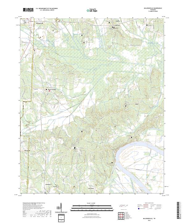
2022 Map of Milledgeville
USGS Topo · Published 2022About this map
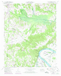
Milledgeville and the surrounding borderlands of McNairy Co and Hardin Co are defined by an intricate network of waterways and early rural settlements. The drainage patterns of the Salt River and its various tributaries are heavily modified by engineering, visible in the straight lines of the White Oak Creek Canal and Hurricane Cr Canal. These modifications speak to a history of managing the bottomlands for agricultural use, even as the Tennessee River and the waters of Kentucky Lake dominate the southeastern landscape.
Find a feature on this map
129 named features on this map. Tap any name to fly to it.
Don’t see what you’re looking for? This feature index may not catch every label — zoom into the map to look around manually.
Map Details
Editions of this 2022 Milledgeville Map
This is the sole edition of this map. No revisions or reprints were ever made.
Historical Maps of Lebanon Through Time
3 maps found